
Episode 222 – Gunny Sacks, Global Shifts, and Namaqualand’s Copper Dreams
The year is 1863. While the Transvaal Civil War cools, the world roils. Abraham Lincoln signs the Emancipation Proclamation, freeing thousands of enslaved people and tying abolition to the cause of the Union. In Mexico, Napoleon III bombards the Mexican town of Veracruz, launching a surreal empire under Archduke Maximilian. Meanwhile, the Dutch finally abolish slavery in Suriname. The Red Cross is founded in Geneva. The American Civil War reaches its blood-soaked climax at Gettysburg, and in a quieter corner of Europe, a young man named Gerard Heineken opens a brewery called Die Hooiberg.

But back in southern Africa, another slow-burning revolution is underway — underground.
In the rugged terrain of Namaqualand, long known to the Khoe for its glinting treasures, European entrepreneurs begin to sink their stakes. By the mid-19th century, companies like Phillips and King are hauling copper ore to tiny, wave-lashed ports like Hondeklip Bay and Port Nolloth. These aren’t modern mines — they’re hand-dug quarries, surface scrapes yielding ore so rich it earns 40 pounds a tonne.

The Namaqua Mining Company, the South African Mining Company, and the later Cape Copper Company lay the foundations for the industrial extractive economy that will soon define South Africa. But logistics are the real challenge. Narrow dirt tracks serve as lifelines. Wagons drawn by mule and ox trundle across the arid interior. Gunny sacks — those humble burlap bags — carry not just ore, but the hopes of a nascent industry.

When the sacks tear, their threads spill more than minerals. They reveal a story of ingenuity. Early miners use gunny bags to build shelters — walls filled with straw and sand, roofs draped and sealed with clay. Evaporative cooling turns these into proto-air-conditioned huts. Ephemeral, biodegradable, and shockingly strong, they become a symbol of human adaptation to scarcity.
But copper, for all its shine, is only the beginning. A greater mineral revelation lies buried just beneath the Griqua homeland — and the Griqua are about to leave.
Episode 223 – The Calliper and the Lens: Gustav Fritsch in the Southern Light
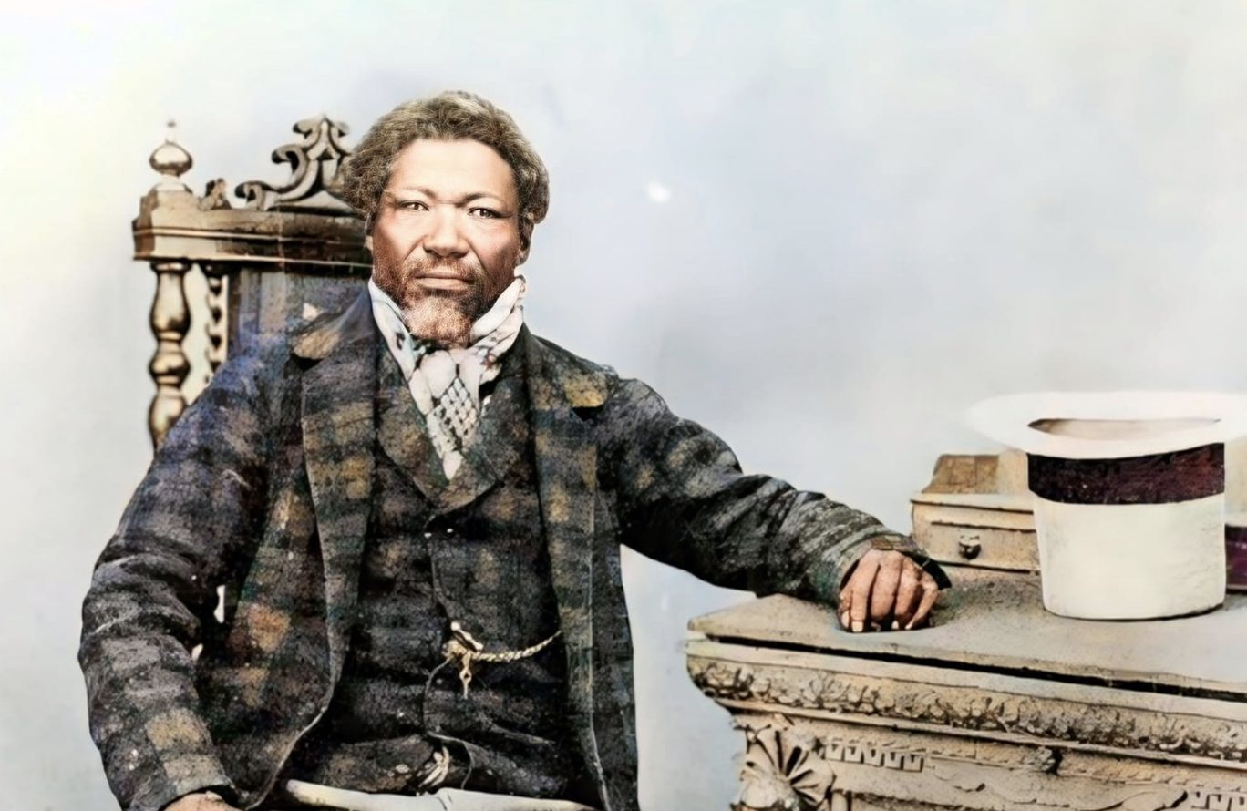
In November 1863, a German scientist named Gustav Fritsch disembarks at Robben Island. Armed with a camera, callipers, and a sense of evolutionary hierarchy, he intends to catalogue human types across southern Africa. The prisoners he photographs are not convicts of the ordinary sort — they are the defeated amaXhosa chiefs of the last Frontier War: Maqoma, Siyolo kaMdushane, Xoxo, and others. Dignified, proud, staring into the Victorian lens, they become unwilling participants in a new science.

Fritsch straddles two worlds. He is both documentarian and eugenicist, a man who pays in tobacco and shillings to record faces he believes are vanishing. His images, haunting and intimate, are now archived in Cape Town and Berlin — a visual record of 19th-century South Africa’s royalty and resistance.
He journeys through the Cape, into Bechuanaland, photographing Sechele I of the Bakwena, Motuane of the Bangwaketse, and Umpotla, son of Mzilikazi kaKhumalo of the amaNdebele. Each portrait — composed with backdrops, props, and theatrical stillness — captures more than faces. It traps a moment just before South Africa’s demographic revolution.


But Fritsch is also an example of his era’s contradictions. His desire to categorise runs into the rich genetic complexity of the San, Koranna, and Khoekhoe. Despite his best efforts, the “types” elude him. His writings, laced with pseudo-scientific musings and the bizarre affection he shows for skulls (which he names and praises), forecast the dangers of race science. Later, his work will feed into eugenics and apartheid ideology.


In the end, his images outlast his theories. The lens preserves what the calliper failed to define.
Episode 224 – El Niño’s Mischief and the Griqua’s Great Trek to Nomansland
Climate, like history, follows cycles — and the 19th century was an era of intense climatic swings. From the early 1800s to the mid-1860s, southern Africa experienced at least eight major droughts. El Niño and La Niña drove rains and dry spells across the land. Famines left their scars — mahlatule in isiZulu, sekoboto in Sesotho. Crops failed, rivers vanished, and livestock perished.
| Period | Climate Condition | ENSO Status | Major Historical Events |
|---|---|---|---|
| 1800–1807 | Drought | 1801–02 La Niña, 1806 El Niño | Xhosa conflicts, famine in Lesotho, food price spikes |
| 1811–1812 | Drought | 1812 El Niño | Food scarcity |
| 1816–1819 | Drought | 1817, 1819 El Niño | Rinderpest, cattle plague, Rust |
| 1820–1828 | Drought | 1828 El Niño | Food scarcity, migration from Mozambique, slavery |
| 1834 | Drought | Neutral | Grain shortages, crop failures |
| 1835–1839 | Wet | 1837–39 El Niño (dry to neutral) | Mzilikazi raids, Dingaan’s massacres |
| 1838–1841 | Wet | Neutral to La Niña | Orange River floods |
| 1841–1844 | Wet | Neutral to La Niña | Famine (minor) |
| 1846–47 | Drought | Neutral | Xhosa’s “War of the Axe” |
| 1847–48 | Wet | El Niño wet | British-Sotho border defined |
| 1849 | Snowfall | La Niña wet | Severe snow |
| 1850–52 | Drought | La Niña wet | Natal-Zulu uprising |
| 1854–55 | Wet | El Niño dry → El Niño | Xhosa–British war, cattle deaths |
| 1857 | Drought | El Niño wet | Xhosa cattle-killing movement |
| 1858–59 | Wet | El Niño wet | Famine, typhoid, Basotho–Boer war |
Nash, David J. and Adamson, George C.D. (2014). “Climate history and drought in southern Africa: 1800–2010.”
Communities adapted. Terraces, matsema granaries, and grain-for-cattle trade networks kept many afloat. But by the 1850s and 60s, nature’s cruelty — combined with settler encroachment — drove deep fissures. Moshoeshoe I faced drought and war simultaneously. The Basotho grain stores ran empty. Typhoid and malaria swept in after the rains returned too late
Into this fraught landscape stepped the Griqua. Adam Kok III and his followers, squeezed by Orange Free State legislation, sold their land in Philippolis and prepared for a journey to a place both feared and mythologised: Nomansland.

Driven by drought, discrimination, and a dream of sovereignty, they began their trek eastward — 300 wagons strong — into the high Maloti, over Ongeluk’s Nek, and down into a mist-wrapped plateau that would soon be called Griqualand East.
Episode 225 – Nomansland Becomes East Griqualand: The Exile of Adam Kok’s People
By the time the Griqua reached the cold highlands of what is now southern KwaZulu-Natal and the Eastern Cape, they had travelled through heartbreak and hardship. Bones of fallen cattle marked their descent into a new life. They camped first near what is now Kokstad, raising their laager, their goats, their fortifications.
The land was lush but brutal — summer grass too fast for sheep, winter fires sweeping through, disease breaking the herds. The terrain offered springs and forests but also isolation. Their nearest neighbours were the amaXhosa and the rolling mists of the Drakensberg.

Adam Kok was the Kaptyn in charge, leading a Volksraad with more personality than paperwork. Councillors debated under tobacco smoke, meat stews simmering beside the council house. Quit-rents were payable in goats. Treaties were signed — sometimes with a flourish, sometimes with a shrug. This was frontier governance at its most evocative.
The Griqua built with sod and thatch. They traded in eggs, hides, maize, and timber. A horse cost two pounds ten. Magistrates were questioned: why only Griqua? What of the Bastaards? The apprentices? The freed slaves? The silence that followed was broken not with debate — but with food. “Kerls, de kos is gaar,” said Piet Draai. The food is ready. And with that, the talk was over.

Yet beneath this stoic frontier spirit lay the bitterest irony. The Griqua had unknowingly abandoned one of the richest diamond fields in the world. The glittering earth of their former homeland — sold for safety — would soon reshape the global economy. But in East Griqualand, for a few fleeting years, they had carved out something else: a self-made country, however fragile, born of struggle and hope.
Let us remember: history is not behind us. It is beneath us — in the dirt we tread, the names we speak, the systems we inherit. These episodes remind us that exile can build states, that photographs can preserve and pervert, and that even the humblest gunny sack tells a tale of resilience.
Episodes are available on all major podcast platforms updated weekly on Sundays.


Leave a Reply